
- Avenues
- Run north–south
- Streets
- Run east–west
- Divider
- Fifth Avenue
- 20 blocks
- ≈ 1 mile
Most of Manhattan follows the street plan of 1811: a rectangle of numbered streets crossing a dozen long avenues. Once you know how it works, you can find almost any address in your head.
Rule 1: avenues go up, streets go across
Avenues run the length of the island, north to south. Numbered streets run east to west and get higher as you go north. Uptown means north; downtown means south.
Rule 2: Fifth Avenue splits East from West
Every cross street has an East and a West half, divided at Fifth Avenue. West 42nd Street is towards the Hudson; East 42nd Street is towards the East River. House numbers start at Fifth and climb outward.
Rule 3: street blocks are short, avenue blocks are long
Walking twenty street blocks north takes about 20 minutes. Walking between avenues takes much longer — a single avenue block on the West Side can be three or four times longer than a street block.
Rule 4: below 14th Street, forget the grid
Greenwich Village, SoHo, the Lower East Side and the Financial District predate the grid. Streets have names, bend and meet at odd angles — West 4th Street even crosses West 10th Street.
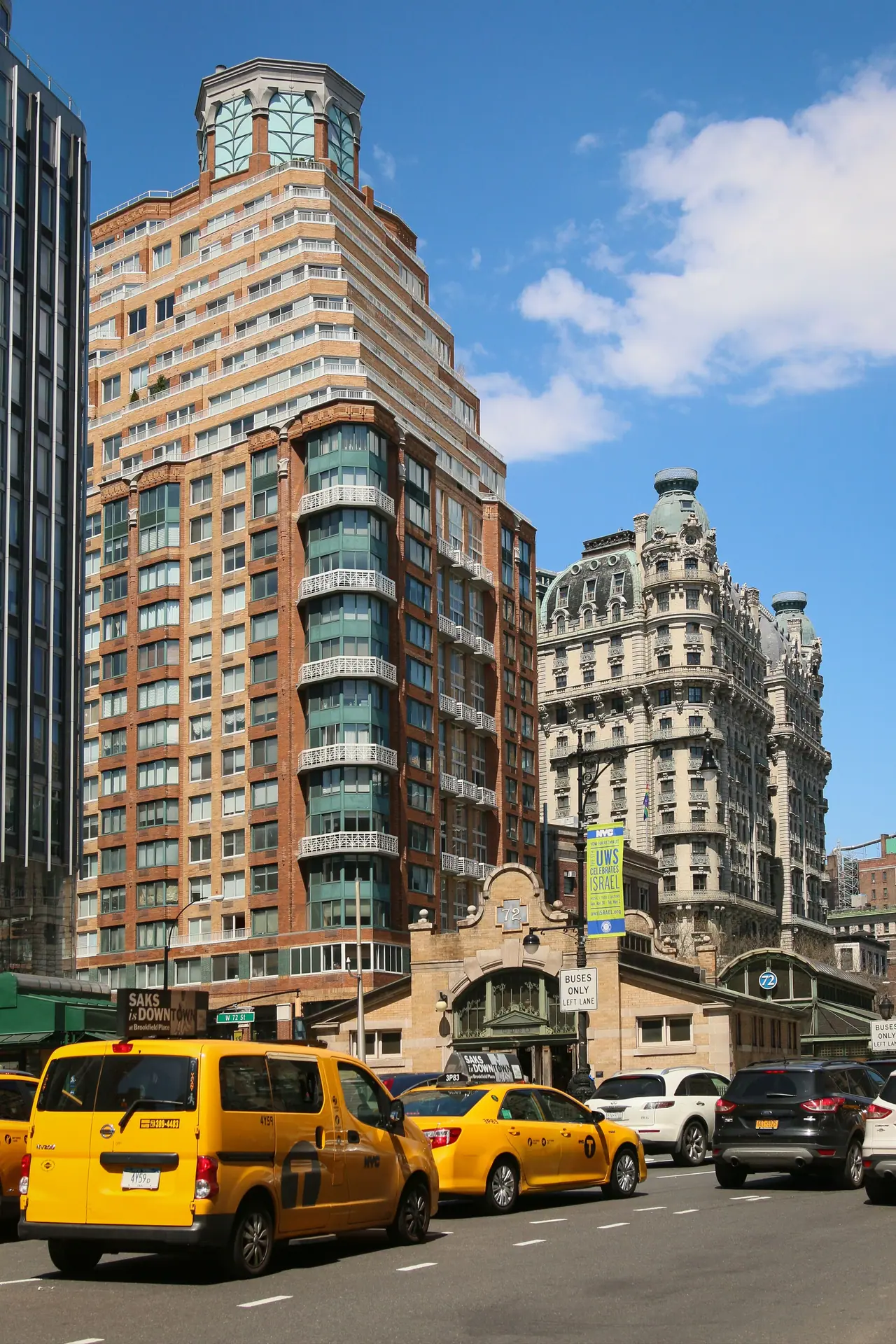
The exceptions
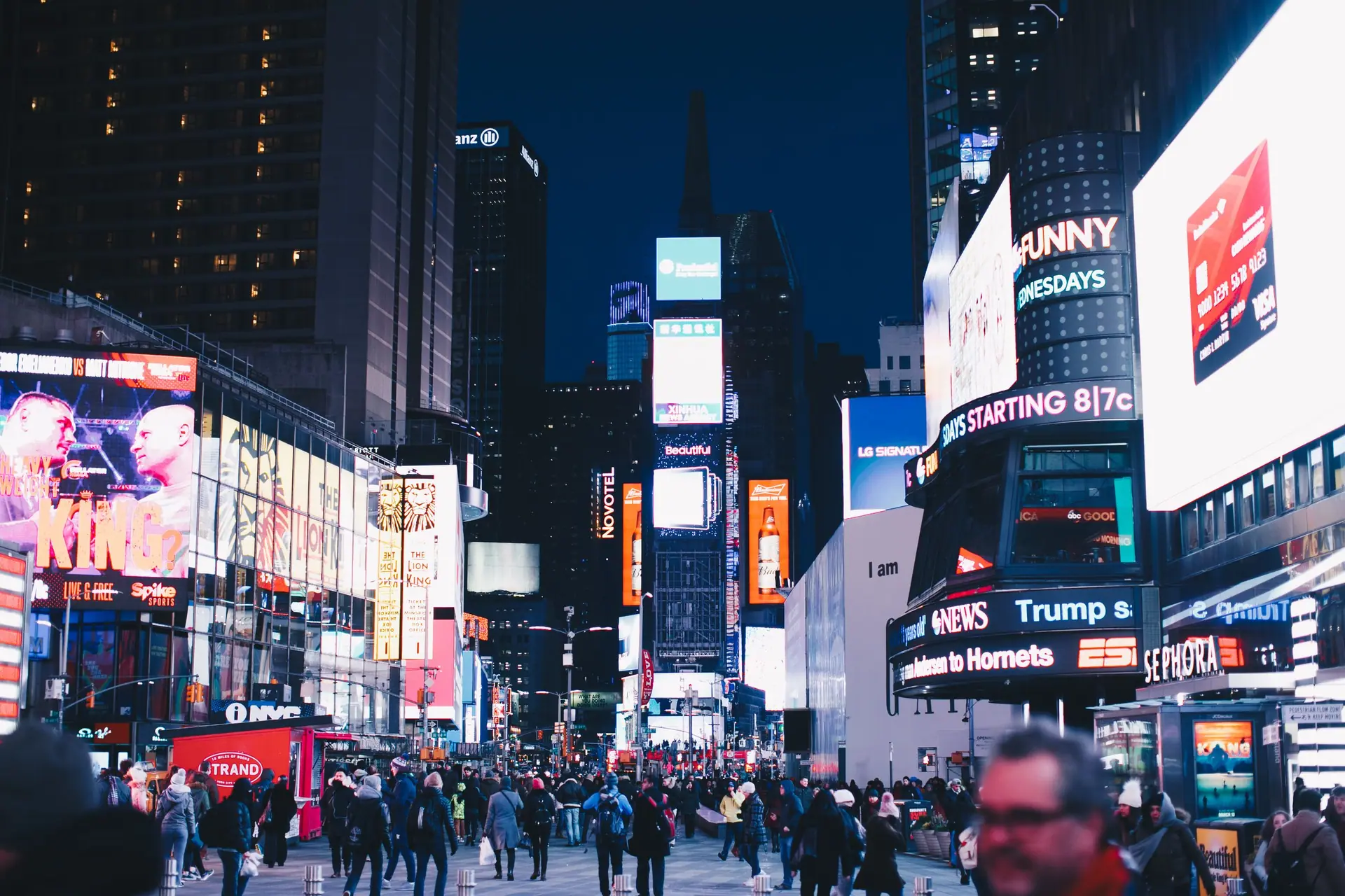
- Broadway runs diagonally across the grid, creating squares where it crosses avenues — Times Square, Herald Square, Union Square, Madison Square.
- Some avenues change names: Sixth Avenue is also Avenue of the Americas; Eighth becomes Central Park West above 59th Street.
- Above 110th Street, many avenues are named after figures in Harlem’s history, like Malcolm X Boulevard and Adam Clayton Powell Jr. Boulevard.
Manhattanhenge
Because the grid is tilted about 29 degrees from true east–west, the sunset lines up with the cross streets a few days each year — usually in late May and mid-July. 42nd and 34th Streets are the favorite viewing spots.
Using the subway with the grid
Subway entrances are often marked Uptown or Downtown only. Check the sign before you tap in, or you may have to exit and cross the street to the other platform.
Counting avenue and street blocks
Treat the grid as a set of rectangles. Numbered streets form the short sides and avenues form the long sides. When planning a walk, count avenue blocks and street blocks separately. A route that looks short on a map can involve several long crosstown blocks, while a north-south route of many street numbers may move faster. Use the nearest cross street as your anchor and judge the distance by the number of blocks ahead. This method keeps a crosstown errand from becoming a longer walk than expected.
Addresses help once you are on the street. Read the avenue first, then the cross street. Fifth Avenue divides East from West street numbers, and Broadway cuts across the grid, so a simple block count may need adjusting near it. At an intersection, confirm the street number and avenue name together. If you lose the pattern, move toward a known avenue or the edge of Central Park. The street number gives your north-south position, while the avenue gives your east-west position. This check is quicker than tracing a long route on a map.
Landmarks as anchors
Use the rivers and Central Park as large fixed references. The Hudson River is on the west and the East River is on the east, so a glimpse of water tells you which way the island runs. Central Park occupies the area between 59th and 110th Streets and between Fifth Avenue and Central Park West. Its edges are reliable east-west and north-south markers. A short walk to a park edge can reset your sense of direction on foot before you continue.
Major stations and the High Line offer other anchors. Grand Central Terminal is at 42nd Street and Park Avenue, Penn Station is at 34th Street between Seventh and Eighth Avenues, and the High Line runs on the West Side from Gansevoort Street to West 34th Street. Use these places to check your position, then read the nearest avenue and cross street before you set off. A station entrance can tell you the avenue and cross street, which is more useful than a general neighborhood name when you are walking.
Keep reading
How to read the Manhattan grid: questions
How do you read the Manhattan grid north of 14th Street?
Use numbered streets as east-west lines and avenues as north-south lines. Street numbers rise as you go north, and Fifth Avenue divides East from West street numbers. Broadway cuts across the grid diagonally, so treat it as an exception rather than a main axis.
How do you work out east and west addresses on the Manhattan grid?
Fifth Avenue is the dividing line for East and West street numbers. An address with East or West tells you which side of Fifth Avenue to search. Pair that with the nearest cross street, then count the avenue blocks to your destination.
Why is the Manhattan grid less regular below 14th Street?
Older streets in Greenwich Village, the West Village, SoHo, the Lower East Side and the Financial District are named and irregular. Use a map and subway stations as anchors there. The grid returns north of 14th Street, though Broadway still runs diagonally across it.
How can Broadway help you keep your bearings on the Manhattan grid?
Broadway runs diagonally across the grid, so it crosses avenues and numbered streets at changing points. It can act as a useful landmark, but do not expect it to follow the avenue pattern. Check the cross street where Broadway meets the avenue you are using.
What do uptown and downtown mean when reading the Manhattan grid?
Uptown means north and downtown means south. Use those terms for direction along avenues and for broad orientation. Crosstown means east or west across the grid. When you ask for directions, name the avenue and cross street as well as the direction.
How should you read an avenue name and cross street on the Manhattan grid?
Start with the avenue, because avenues run north-south, then use the cross street to fix the north-south position. Street numbers rise as you go north. If the address includes East or West, use Fifth Avenue as the divider before you set off.
How does Central Park help you orient yourself on the Manhattan grid?
Central Park sits between 59th and 110th Streets and between Fifth Avenue and Central Park West. If the park is on your left or right, you have a clear east or west bearing. The cross streets along its edges also give a reliable north-south position.
How should you combine the Manhattan grid with the subway when planning a route?
Use the grid to choose the nearest avenue and cross street, then match that intersection to a station entrance. The subway runs 24 hours a day, and contactless payment is standard. Check current service changes with the transit authority before you travel.