One metric ton with every booking.
Every hotel booking made through IMPT, on imptmanhattan.com or on any other IMPT site, funds one metric ton of verified CO₂ offset. The offset is part of the price you already see, there is nothing extra to pay, and what was offset is reported for each trip.
How the offset works
Four steps, in this order. Nothing in them is optional, nothing is added at checkout, and none of it needs anything from you beyond the booking itself.
The metric ton is not an average spread across a year and not a block bought in bulk at the end of one. It is funded booking by booking, and the credit is verified before it counts.
- 01You book a room at the live rateThe price on the page is the live rate for the dates you picked. Nothing is added to it for carbon.
- 02IMPT funds one metric ton of verified CO₂ offsetEvery single booking funds one metric ton, whichever IMPT site it was made from.
- 03The credit is retired against a registered projectThe metric ton is matched to a registered climate project and retired there, so the same metric ton cannot be counted twice.
- 04The offset is reported on your tripWhat was offset is attached to that journey rather than to a year-end total.
That is the whole mechanism. One booking, one live price, one metric ton, reported back against the trip it belongs to.
Why carbon matters here
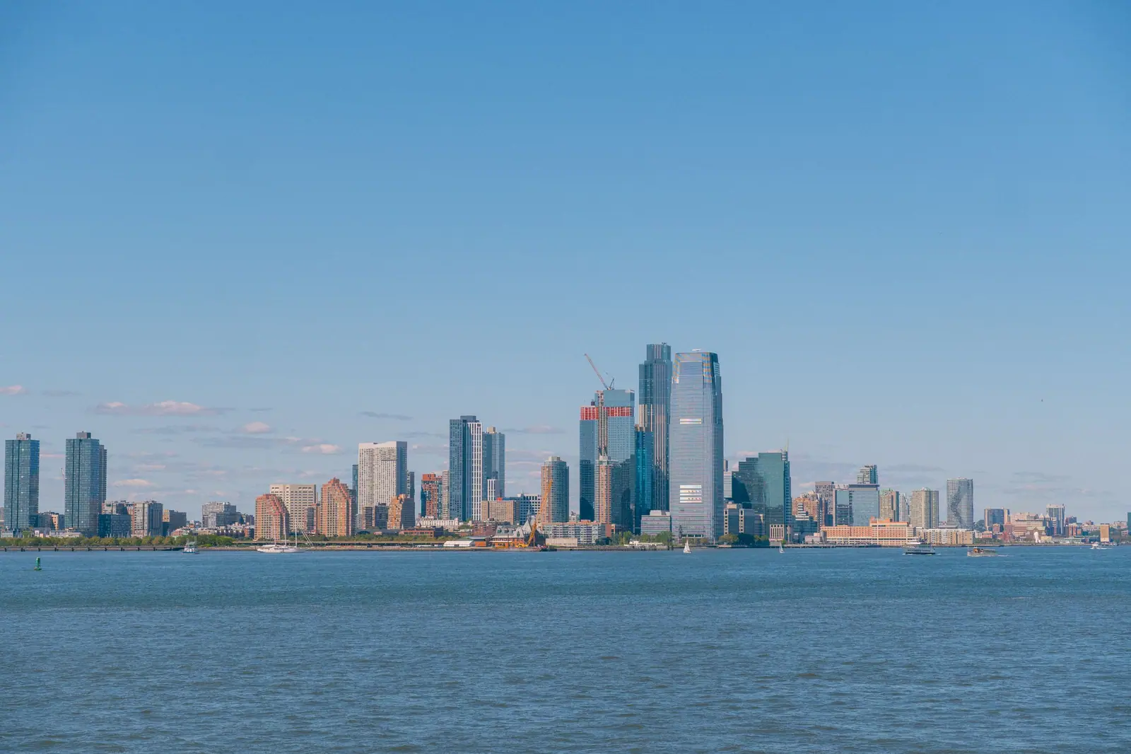
Manhattan is an island, and that shapes its carbon story. Most of the city's emissions come from the buildings people live and work in, and the water on three sides makes sea-level rise and storm surge a practical concern. A visit here can be low-carbon without much effort: the subway runs all night, bike-share docks cover much of the island, and most of what you came to see sits within walking distance of a train.
Why carbon matters on an island
Carbon is a way of counting the greenhouse gases that a building, a city or a trip puts into the atmosphere. In Manhattan the largest share comes from buildings: heating, cooling, hot water, lighting and the electricity that runs equipment. Vehicles add another share, though less. On an island of about 22.7 square miles, with limited road space and a shoreline on three sides, lowering those emissions is also a question of how the city works day to day in practice.
The geography shapes the argument. Manhattan sits between the Hudson River to the west, the East River to the east and the Harlem River to the north east. Water is never far from any street. Exposure to sea-level rise and storm surge makes the case for lower emissions local rather than abstract: cooler streets in summer, cleaner air on busy avenues, and less strain on the infrastructure that keeps an island running through a storm season. Both effects follow the same geography.
Visitors rarely arrive planning to think about any of this. But travel choices add up, and in Manhattan the lighter option is usually the simpler one. The subway runs 24 hours a day. Congestion pricing has charged vehicles entering Manhattan below 60th Street since January 2025, which trims traffic and the emissions that come with it. Distances between sights are often short enough to walk. A low-carbon trip here does not feel like a sacrifice.
Water, storms and Lower Manhattan
Hurricane Sandy made the island's exposure plain. In October 2012 the storm pushed water into parts of Lower Manhattan and into the subway tunnels, closing stations and disrupting service well beyond the flooded blocks. The damage reached the systems underneath the streets: power, signals, pumps and the passages that carry trains. For a borough ringed by the Hudson, the East River and the Harlem River, that event turned a long-running planning question into an urgent one. Flood water does not stop at a curb.
One answer is being built along the East River. New York City's East Side Coastal Resiliency project is constructing flood protection along the East River waterfront in Lower Manhattan, using raised parkland, walls and other barriers designed to hold back storm surge. The work has changed the look of several blocks near the water. Sections open and close as construction moves along, so check the current status before planning a walk that depends on a particular stretch.
For visitors the practical point is simpler than the engineering. Low-lying streets near the waterfront, the ferry terminals at the southern tip and the tunnel entrances are the places where water arrives first. On an ordinary day none of this matters. On a day with a serious coastal storm forecast, it does, and the sensible move is to follow city advisories and stay off the low ground near the rivers. The free Staten Island Ferry leaves from Whitehall Terminal, a short walk from those streets.
Buildings and the city's climate law
Buildings are where the city's emissions mostly come from, and New York has begun to regulate them directly. Local Law 97, adopted in 2019, sets carbon limits for large buildings and tightens them over time. Owners of buildings that exceed their limit face penalties. The rule covers a large share of the city's floor area, and it has pushed owners toward better insulation, window upgrades, more efficient heating and cooling, and cleaner ways of producing heat. The limits are revised, so check current guidance for detail.
For a visitor, the law explains some of what you see. Scaffolding on older facades, new mechanical equipment on rooftops and work on lobbies and basements are often signs of a building being brought up to standard. Older stock, which is most of Manhattan's residential fabric, is harder and costlier to improve than new towers. Progress is gradual and mostly unnoticed by anyone passing through. Most of it goes unseen.
Hotels sit inside this system. A hotel bill in New York City adds state and city taxes and a per-night occupancy charge to the room rate, and some properties add a facility or destination fee on top. Check the total price with taxes and fees before comparing stays. Every hotel booking made through IMPT funds one metric ton of verified CO2 offset, included in the price and reported for each trip, so the offset travels with the reservation.
Parks, trees and summer heat
Central Park does more than provide a view. At 843 acres between 59th and 110th Streets, from Fifth Avenue to Central Park West, it is the largest park on the island, designed by Frederick Law Olmsted and Calvert Vaux and first opened in 1858. Its trees, lawns and water cool the surrounding blocks in summer. Entry is free, and on a hot afternoon the difference between a sunny avenue and the shade inside the park is immediate. Walk in from any side street and it is cooler within a block or two.
The city's street trees do similar work at a smaller scale. A line of trees along a block shades pavement that would otherwise bake and release heat into the evening, and it takes some of the load off the air conditioning in the buildings behind it. Summers here are hot and humid, and heat waves are becoming more frequent, which makes shade a piece of infrastructure rather than decoration. The trees need watering and care to survive, which is ongoing work.
Timing a day around this is worthwhile. The park is at its most comfortable early, before the pavement has had hours of sun. On the hottest afternoons, an indoor stop is the practical alternative. Museum Mile runs along Fifth Avenue from roughly 82nd to 105th Streets, and the American Museum of Natural History sits on Central Park West at 79th Street. Evenings bring relief: the stone gives back the day's heat slowly, and the park's paths fill with people doing the same thing.
Traveling lighter in Manhattan
Getting around without a car is straightforward. The subway runs 24 hours a day and reaches the whole island; fares are paid by tapping a contactless card or phone, and the MetroCard is being phased out. Taps are capped after a set number of rides in seven days, which suits a multi-day visit. Bike-share docks cover much of the island. Walking is often fastest between nearby sights. Check the current service status before a late ride. Weekend work can change a route.
Arriving by train is the simplest low-carbon choice. Grand Central Terminal at 42nd Street and Park Avenue and Penn Station at 34th Street between Seventh and Eighth Avenues both sit in the middle of the grid, and the Port Authority Bus Terminal is at 42nd Street and Eighth Avenue. From the airports, public transport works: JFK has the AirTrain to Jamaica for the LIRR or the E, J and Z subway lines, or to Howard Beach for the A train.
Newark Liberty works the same way, with the AirTrain to the Newark Liberty International Airport station and then NJ Transit or Amtrak into Penn Station. LaGuardia is closest by road, and the free Q70 LaGuardia Link bus connects to the subway. JFK and Newark are typically 45 to 75 minutes from Midtown depending on traffic and connections. Congestion pricing has charged vehicles entering Manhattan below 60th Street since January 2025, so check the current rules before driving in.
What you can see and support
Several free public places show how the island works. The High Line, an elevated park on a former freight rail line running from Gansevoort Street to West 34th Street at Hudson Yards, opened its first section in 2009 and costs nothing to walk. The 9/11 Memorial's two reflecting pools are free to visit. The Staten Island Ferry leaves Whitehall Terminal at the southern tip at no charge, passing the Statue of Liberty on a crossing of about 25 minutes. All three are free, and none needs booking.
Green space repays a second visit. Central Park is free and large enough to absorb a crowd, and the smaller waterfront parks along the Hudson and the East River do the same job at a neighborhood scale. Public markets are another low-cost hour, and buying food close to where it is made keeps transport short. Check opening days before setting out, because market schedules vary through the week. The river esplanades show you the water that shapes the city's planning.
What you support with your spending matters too. Money spent in a neighborhood goes further there than money spent with a chain based elsewhere, and a trip that spreads spending across several blocks puts more into local hands. Booking a hotel through IMPT includes one metric ton of verified CO2 offset in the price, reported for each trip, which keeps the carbon side of a stay tied to the reservation. The site shows no prices; booking buttons open live prices in the app.
- Tap to pay: Fares are paid by tapping a contactless card or phone, and the MetroCard is being phased out.
- Check the total price: Hotel bills add taxes and a per-night occupancy charge, so compare full totals with fees.
- Leave the car: Congestion pricing charges vehicles entering below 60th Street; the subway runs 24 hours a day.
- Ride the ferry: The free Staten Island Ferry from Whitehall Terminal passes the Statue of Liberty in about 25 minutes.
- Offset with booking: Every hotel booking made through IMPT funds one metric ton of verified CO2 offset, included in the price.
- Start early in summer: Summers are hot and humid, so plan outdoor hours for the morning and keep an indoor stop ready.
The projects behind the credits
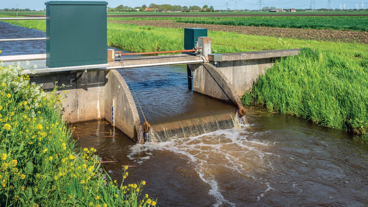
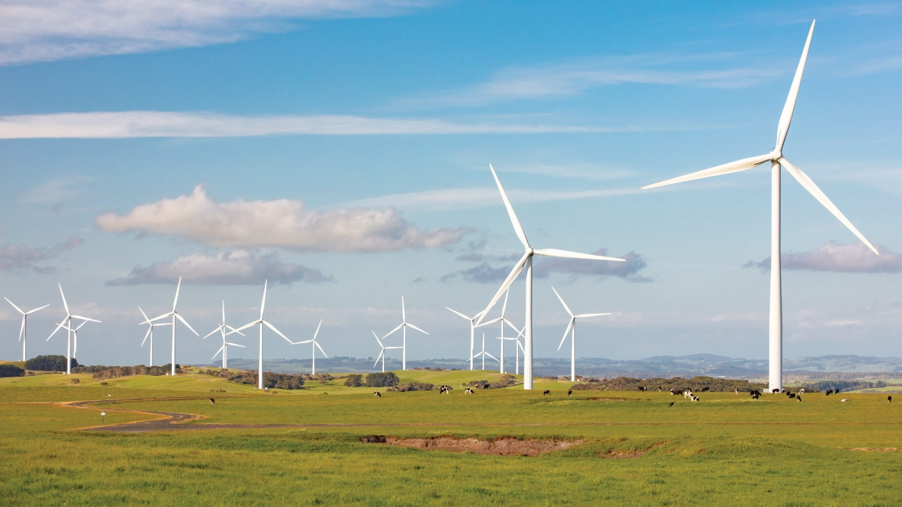
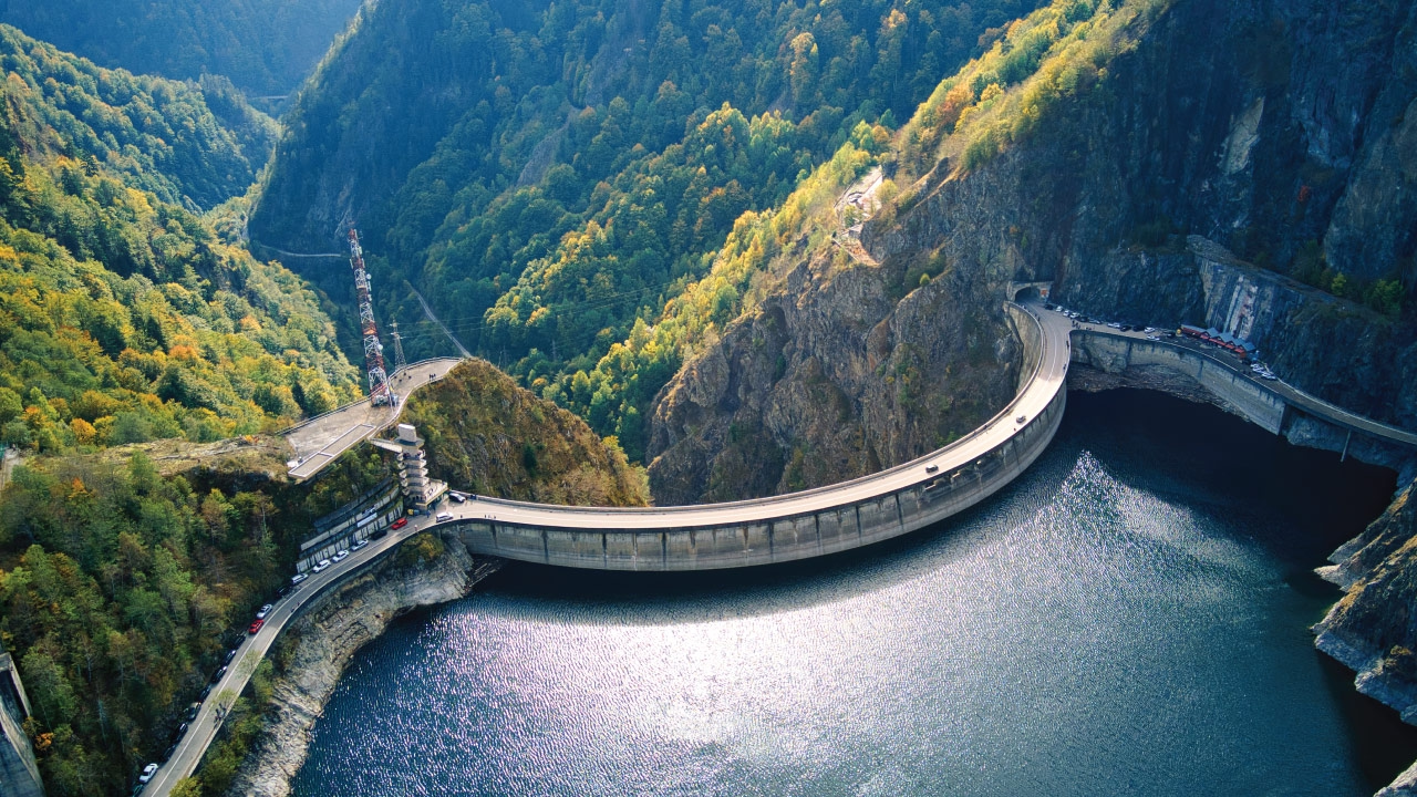
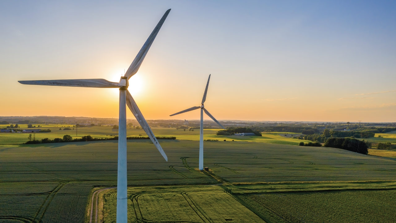
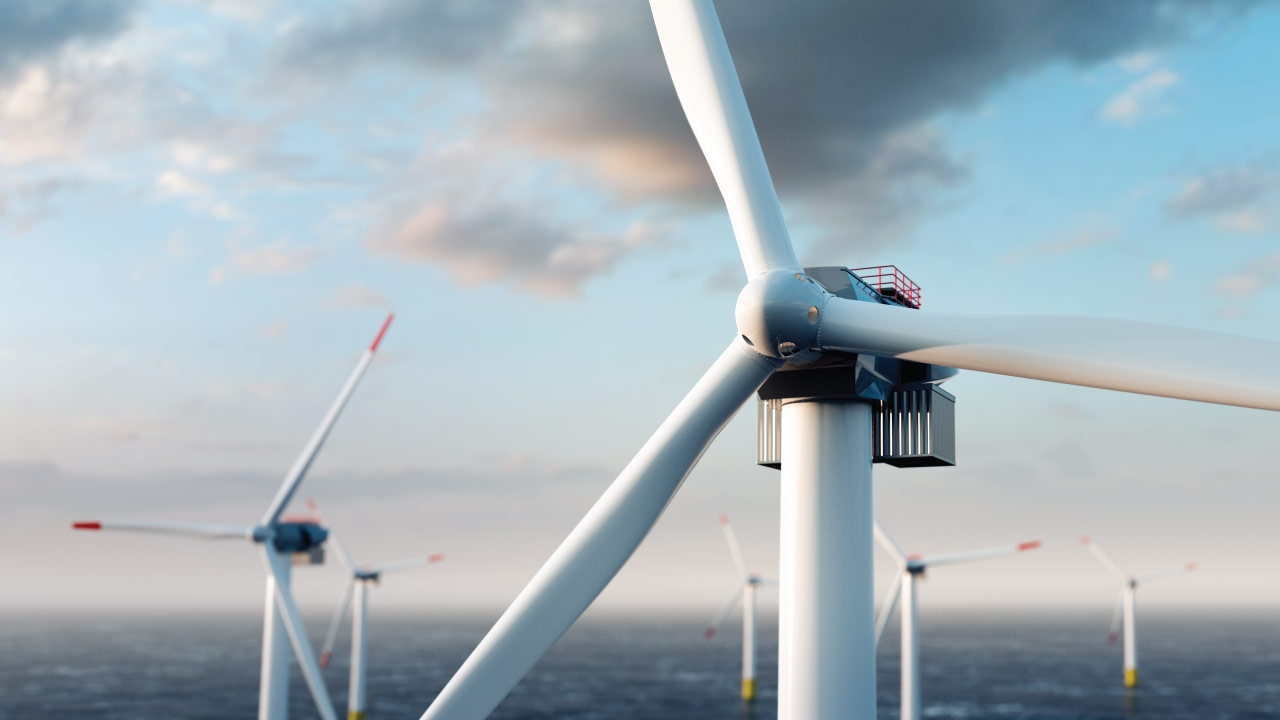
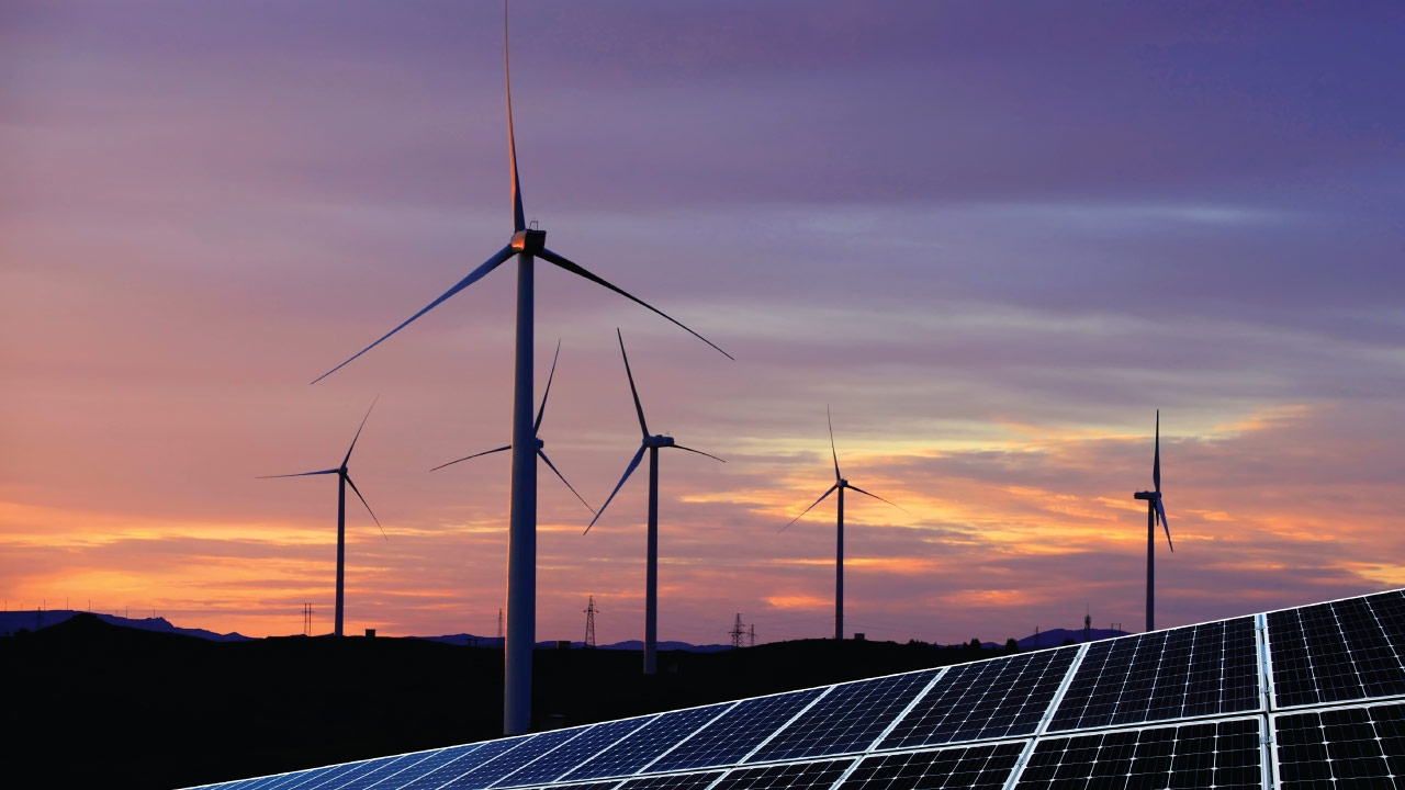
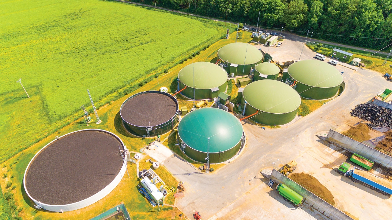
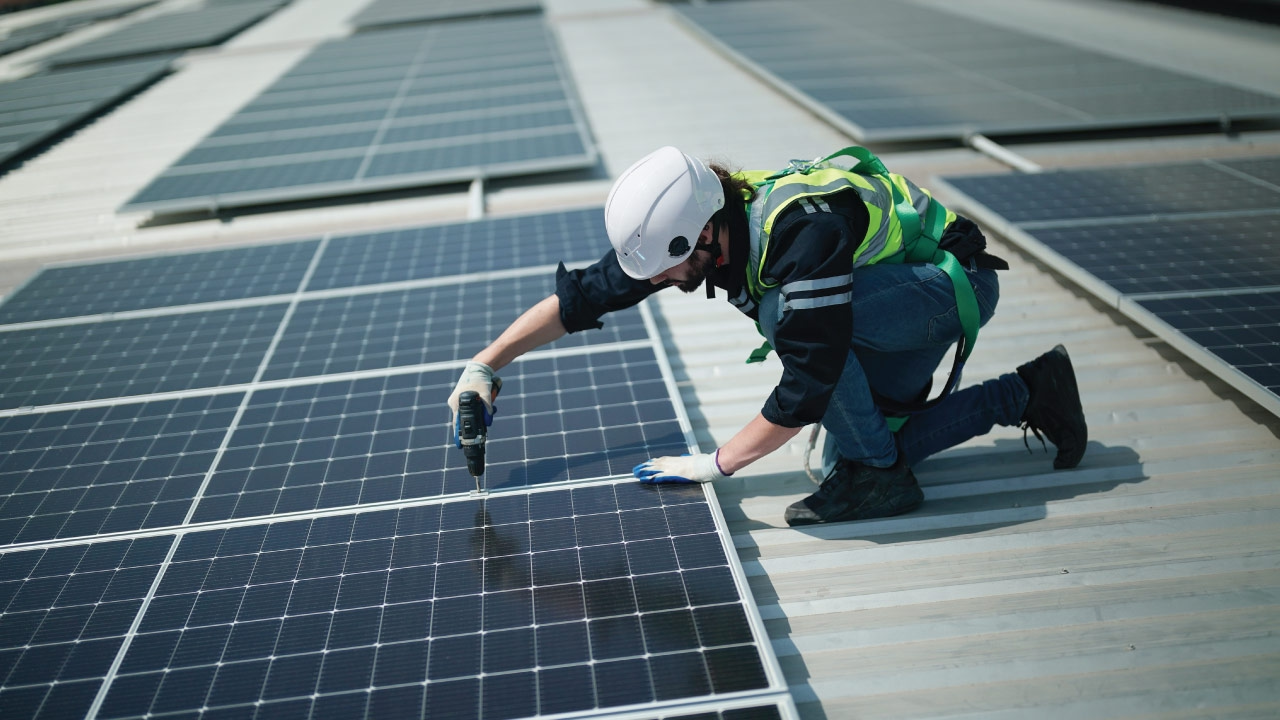
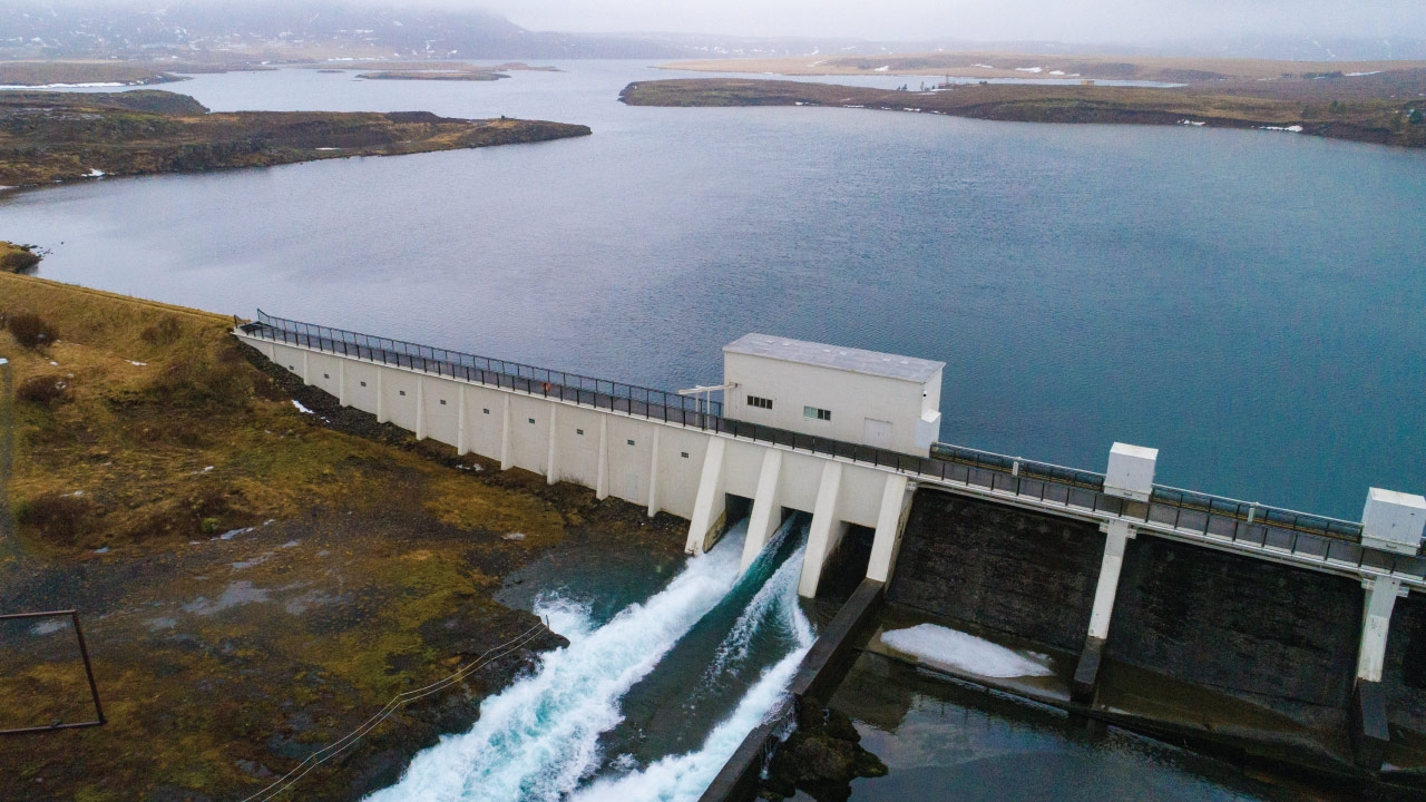
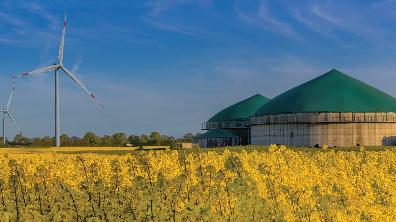
The credits are retired against registered climate projects: biogas and biomass on farms, forest restoration and REDD+, wind, solar, hydro and bio-based construction. The list below is read straight from the IMPT project register.
Descriptions come from the register itself and are published in English. Projects in India are shown first; the rest are in the app.


Buy or gift verified offsets
You do not have to book a room to fund a metric ton. Both vouchers live in the IMPT app.
Worth knowing: the offset on a booking is funded by the booking. The vouchers are a separate thing you can buy or give away; a stay does not need one.
Carbon in Manhattan: questions
Is the subway a low-carbon way to get around?
For most journeys, yes. The subway runs 24 hours a day, carries large numbers of people per train and reaches the whole island. Fares are paid by tapping a contactless card or phone. For a few blocks, walking is usually quicker than waiting on a platform.
Why does storm surge matter on an island?
Manhattan has water on three sides, so a coastal storm pushes water against low-lying streets. Hurricane Sandy in October 2012 flooded parts of Lower Manhattan and the subway tunnels. The East Side Coastal Resiliency project is building flood protection along the East River; check its current status before a waterfront walk.
What is Local Law 97?
Local Law 97, adopted in 2019, sets carbon limits for large buildings in New York City and tightens them over time. Buildings are the biggest source of the city's emissions, so the law reaches much of the space visitors use. Requirements are revised, so check current guidance with the city for detail.
How should a summer visit handle the heat?
Summers in Manhattan are hot and humid, and heat waves are becoming more frequent. Start outdoor sightseeing early, use shade in Central Park and along the street trees, and keep an indoor stop for the afternoon. Museum Mile and the museums along Central Park West both work. Check the forecast daily.
Do you need a car in Manhattan?
No. The subway runs 24 hours a day, bike-share docks cover much of the island and the street grid makes walking predictable. Congestion pricing has charged vehicles entering below 60th Street since January 2025, which adds cost to driving in. Cars are useful mainly for leaving the city.
How do you reach Manhattan from the airports without driving?
From JFK, the AirTrain runs to Jamaica for the LIRR or the E, J and Z subway lines, and to Howard Beach for the A train. From Newark Liberty it connects to NJ Transit or Amtrak into Penn Station. LaGuardia is closest by road, with the free Q70 bus to the subway.
Does congestion pricing apply to a rental car?
Congestion pricing has charged vehicles entering Manhattan below 60th Street since January 2025, and it applies to a rental car as much as to any other vehicle. Ask the rental company how the charge is billed and check the current rules before driving in. Many visitors skip the question by arriving by train.
Sources: IMPT project register (platform.impt.io); NYC Mayor's Office of Climate and Environmental Justice, NYC Parks, MTA. Editorial review: 7 November 2026.
Book a room, fund a metric ton
Photo credits: Photo on Pexels.